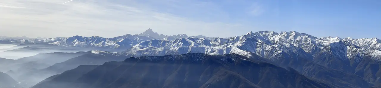

Snow-covered Alpine skyline seen from above the haze
Roure4 km
Aquila24 km
Ubimage
Ubimage

Free · iPhone · offline · no account

Where was I, exactly?

Point your phone at the horizon and your geotagged photos and videos come back onto the landscape, each one pinned to the spot it was shot from, with its distance and its altitude. The ridge across the valley, or the landmark at the end of the street.

See it running

Live camera view from the Monte Amaro ridge in the Majella, Abruzzo, under a clear sky, with a photo of the red Cesare Mario Pelino bivouac pinned on the crest and the label Pacentro 2.7 mi
Ahead, on the crest of Monte AmaroThe red dome is the Cesare Mario Pelino bivouac, just below the summit of Monte Amaro in the Majella; the photo hangs exactly on the ridge it was taken from, 2.7 mi away. The tick beside the name is the compass agreeing you are facing it; miles because that is what this iPhone was set to.
Satellite 3D terrain of the ridge above Fenestrelle and Usseaux, in the Chisone valley, seen from above and behind the spot a photo was taken, with the photo card, an orange cone showing the shot direction and a north indicator
Behind the lens, above FenestrelleOne tap and the map flies behind the photo: satellite terrain of the ridge between Fenestrelle and Usseaux, the spot you stood on at the centre, looking the way you were looking, east down the Chisone valley towards the plain of Turin. The orange cone is the shot direction, E 77°.
Live camera view over the Germanasca and Chisone valleys from a grassy ridge, with two photos pinned onto the skyline, labelled Prali 7.8 mi and Cervières 26 km
On the landscape, above PraliEach place hangs where you shot it, with its distance: 108 photos over Prali, in the Germanasca valley, and 23 over Cervières, across the border in France.
The distance scrubber filtering the pins down to a single band, leaving only Prali, 9.4 mi away, over the Alpine skyline
Slice by distanceDrag the scrubber and keep only the band you care about: here just Prali, 9.4 mi away in the Germanasca valley.
Live camera view of the Intesa Sanpaolo skyscraper in Turin from Porta Susa, with a sunset photo of the city and the Piedmont Region skyscraper pinned to the top of the building, labelled Turin 681 m
Pinned to the Intesa Sanpaolo skyscraperThe card sits on the Intesa Sanpaolo skyscraper because the photo was taken from its top: Turin at sunset with the Piedmont Region skyscraper on the horizon, 152 m above you and 681 m away. Placed by GPS, altitude and heading, not by matching the image.
3D map of Turin with a cluster of photo dots, an orange cone showing the camera bearing, and a compass histogram to filter photos by direction
Where it is, and where it lookedGrey dots are photos, the orange cone is the camera's bearing (SW 223°). The compass histogram filters by the direction a photo was taken: drag it to keep only those looking one way.
Photo detail panel: distance 694 m, direction SW 219°, camera faced SW 222°, altitude 397 m, elevation vs you +152 m, date
Direction is not where the camera facedTwo bearings, kept apart: where the photo is from you (SW 219°) and where the lens pointed (SW 222°). Then altitude, elevation relative to you (+152 m), and coordinates you can copy.
A street in Turin seen through the camera, with a photo of the Mole Antonelliana pinned above the rooftops and its distance, 705 metres
Cities tooThe Mole Antonelliana down the street works like the peak across the valley.
A 3D city map showing where you stand and the cone of where the photo was aimed
You and the shotYour blue cone, the camera's orange one, one city map.
Photo detail of a city landmark showing its distance, bearing, altitude and an Open in Maps button
Walk right thereEvery shot knows its spot: open it in Maps and just go.
A place opened up, showing the map and a carousel of its photos
A place, all of itOpen a pin and browse every shot taken there, year by year.
A histogram of how many photos were taken in each year
Years at a glanceThe same view, filtered by when the photos were taken.
A 3D map with an orange cone showing where the camera was pointing
Which way you lookedThe orange cone is where the camera was aimed at the time.
Photo details: distance, direction, altitude and date
The numbersBearing, altitude, and coordinates you can copy in one tap.
A frame from the Ubimage reel: the camera view with photos pinned on the landscape
Watch the reel on InstagramThirty seconds of the app in use, on Instagram. Opens in a new tab.

What it does

01

Point and remember

No searching, no scrolling. You are already standing in the place. Turn around and your photos and videos come to you, each pinned to its own direction and distance.

02

Slice it by distance

Dozens of places piled up in one direction? Slice that direction by distance and isolate a single band. Far quicker than zooming.

03

See where you were looking

A 3D map shows the exact spot each photo was taken from, and an orange cone for which way the camera was pointing at the time. One tap more and the map flies behind the lens: satellite terrain, centred on where you stood, looking the way you were looking.

04

Years at a glance

A place you photographed forty times is one pin, not forty. Open it and browse its whole history, with altitude and elevation for every shot.

05

Videos, in place

Geotagged videos hang on the landscape next to your photos and play right on their card. The waterfall you filmed moves again, exactly where it is.

06

Made for cities too

That beautiful corner you photographed on your last trip? Raise your phone and it appears down the street, with the metres left to reach it. Open it in Maps and walk straight there.

07

Altitude the barometer measures

GPS guesses your altitude, and it guesses badly: tens of metres off is normal, and on a ridge that is the difference between a pin above the skyline and one buried in it. On iPhone 12 and later Ubimage also reads the barometric altimeter and keeps whichever reading declares the smaller error, so pins sit at the height you are actually standing at. No barometer, or permission denied? It falls back to GPS altitude and everything keeps working.

08

The raw numbers, one tap away

A compass rose in the bar opens the instruments: coordinates, your altitude with its margin of error and whether it came from the barometer or from GPS, GPS accuracy, heading with compass accuracy. Tap any row to copy it. A value the phone cannot vouch for reads n/a instead of being invented.

09

Browse a place by facing

Open a spot you have shot many times and a flat compass filters its photos by the way the camera was pointing. Scroll only the ones shot looking a chosen way, S 174°, or the ones shot back toward where you are standing now.

Moments it was made for

At sea

Find the fishing spot again

Open water has no landmarks. The photo with the forty-pound grouper does: it carries the coordinates of the boat. Point your phone around and the pin hangs over that exact patch of sea, with the distance left to reach it.

On the trail

Name the peak you are looking at

That summit across the valley looks familiar. Point the camera at it: if you ever photographed it, the pin is already there, with the place name, the distance and how high it stands above you.

Map and compass

Train the orienteer's eye

Orienteering comes down to one thing: matching the map to the ground in front of you. Photograph a feature once and it comes back as a pin at its true bearing and distance, so you can practise spotting a control on the terrain before your feet get there.

In the clouds

When the view disappears

The fog rolled in and swallowed the whole ridge. The pins stay put: point the phone and read what the clouds are hiding, each photo still hanging exactly where its mountain is.

Years later

Retake the same shot

Stand where you stood, open the photo and check the orange cone showing where the camera was aimed that day. Line it up and take the same frame ten years later, one season against another.

Back in town

Find the restaurant again

You photographed the plate, never the sign. Months later you are back in the same city: raise the phone and that dinner hangs over the side street it was on, with the metres left to the door. Open it in Maps and go.

A place, not a view

The exact step

Some spots you keep for what happened there, not for how they look: the stairs where you first kissed someone, the door of the first flat you rented. Point the phone and the photo sits on the exact spot, down to the step. The map holds the place better than memory does.

Nothing leaves your phone

Ubimage is free, with no advertising and nothing to buy inside it. There is no account, no cloud and no analytics: it reads your photo library and writes nothing back to it, and your location never leaves the device. Nothing runs on a server, so there is nothing to bill you for. The privacy policy is short, because there is very little to say.

Ubimage works with photos and videos that carry GPS coordinates, the ones your iPhone saves automatically when location is enabled for the camera. It shines wherever you can see some distance: a summit with an open view, or a boulevard with a landmark at the end.
Download free on the App Store